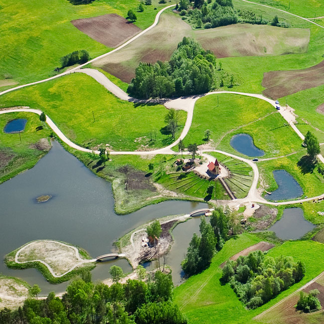
Aerial Photography
We all know that Google Maps and other satellite photo images are great tools, but the images shown are often outdated – sometimes even by several years. North Texas is growing so fast that many times roads, buildings and even major development projects don’t appear in these tools, or they are at a lower resolution than desired.
We provide you with the most current aerial photos of your property, for a surprisingly affordable price.
$200 Per Locaiton
- Different Angles. 20 high-quality images taken from different directions.
- Types of Shots. Mixture of close-up and wide-angle shots.
- You Own All Rights. Full transfer of all legal photography rights. No pay-per-use costs.
- Photos will be shipped free to you on a flash drive via first class shipping.
- Multiple Targets. Request two or more targets for free second-day shipping.

